MISHub QI
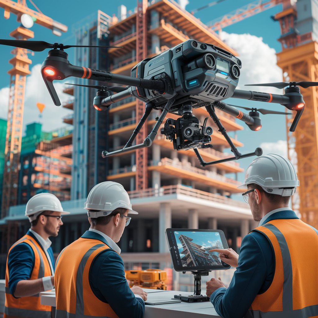
Use of Drones in Civil Engineering
Use of Drones in Civil Engineering
Drones, also known as unmanned aerial vehicles (UAVs), are transforming the civil engineering sector, providing new approaches to inspections, mapping and construction management. This study takes a detailed look at the impact of drone use in this field, as well as their advantages, disadvantages and potential applications.
Impact of Drones on Civil Engineering
Drones have revolutionized civil engineering, offering applications beyond BIM , such as topographic mapping with ArcGIS and QGIS , construction monitoring with Primavera P6 and MS Project , structural inspections using Pix4D and DroneDeploy , and geotechnical and environmental analysis with tools such as GeoStudio . They are also used in volume estimation with Civil 3D , traffic simulation with VISSIM , and natural resource monitoring with ENVI . The integration of these technologies optimizes processes, reduces costs, and improves accuracy, making drones indispensable in modern and sustainable projects.
In Mozambique, where geographic and infrastructure conditions present significant challenges, drones are being used to monitor large areas in projects such as road, dam and building construction. Their adoption has helped reduce operational costs and improve schedule efficiency.
Sources:
- RICS. (2019). Technology in Construction . ( https://sps.columbia.edu/events/2019-columbia-university-and-rics-construction-technology-symposium )
Advantages of Using Drones
-
Fast and Safe Inspections
Drones can perform inspections in hard-to-reach places, such as bridges, facades of tall buildings and unstable structures, without putting the safety of workers at risk. -
Cost Reduction
They eliminate the need for expensive equipment, such as scaffolding and helicopters, for topographic surveys or aerial inspections. -
Data Accuracy
Equipped with high-resolution cameras and advanced sensors such as LIDAR, drones capture precise data for three-dimensional mapping and detailed analysis. -
Continuous Monitoring
They allow you to monitor the progress of works in real time, identifying deviations in the schedule or problems in execution. -
Sustainability
They contribute to reducing carbon footprints by avoiding unnecessary travel and excessive use of heavy machinery.
Sources:
- ISARC. (2022). The Use of Drones in the Construction Industry: Applications and Implementation ( https://www.iaarc.org/publications/fulltext/075_ISARC%202022_Paper_5.pdf )
Disadvantages and Limitations
-
Weather Conditions
Bad weather, such as heavy rain and strong winds, can limit drone operations, especially in tropical regions like Mozambique. -
Initial Implementation Costs
While they reduce operating costs in the long run, the initial investment in high-quality drones and specialized software can be high. -
Professional Training
Effective use of drones requires specialized training in piloting and data processing, which can be a hurdle for companies with limited resources. -
Regulations
Civil aviation regulations vary by country, and operating drones requires compliance with strict regulations, including specific licenses and permits.
Sources:
- EASA. (2020). EU Drone Regulations .
Specific Applications in Civil Engineering
-
Topographic Surveys
Drones reduce the time needed to map large areas, generating detailed three-dimensional data that can be used in infrastructure projects. -
Infrastructure Inspection
From bridges to power towers, drones inspect critical areas to identify structural flaws or weather damage. -
Urban Planning
With detailed aerial images, they facilitate the planning of new urban developments and the assessment of environmental impacts. -
Disaster Management
After cyclones or floods, drones help assess damage and plan reconstruction.
Sources:
- World Bank. (2022). Drone Technology for Infrastructure Development . ( https://documents1.worldbank.org/curated/en/099092424171513400/pdf/P17663414bafe00251ab5011120a0a964ab.pdf )
Success Stories in Mozambique
-
Post-Cyclone Reconstruction
Drones were used to assess the damage caused by Cyclone Idai, helping to plan more resilient reconstructions. -
Road Infrastructure Projects
Local companies have been using drones to map terrain and monitor road construction in remote areas.
Sources:
- UN-Habitat. (2023). Mozambique Country Brief Final . ( https://unhabitat.org/sites/default/files/2023/07/mozambique_country_brief_final_en.pdf )
Future and Trends
As artificial intelligence and automation advance, drones are expected to play even more significant roles, such as automatic fault identification and seamless integration with project management platforms. In regions such as Mozambique, the combination of drones with sustainable technologies could radically transform the civil engineering sector.
Other bibliography consulted
ResearchGate. (2023). An Overview of Drone Applications in the Construction Industry. Available at: https://www.researchgate.net/publication/372903941_An_Overview_of_Drone_Applications_in_the_Construction_Industry . Accessed on: January 15, 2025.
UFRGS. (2024). Use of drones to create damage maps of historic buildings. Available at: https://lume.ufrgs.br/bitstream/handle/10183/280100/189-6.pdf?sequence=1&isAllowed=y . Accessed on: January 15, 2025.
ResearchGate. (2024). THE DRONES REVOLUTION IN CIVIL CONSTRUCTION: ENHANCED SAFETY IN CONSTRUCTION INSPECTIONS. Available at: https://www.researchgate.net/publication/379488067_A_REVOLUCAO_DOS_DRONES_NA_CONSTRUCAO_CIVIL_POTENCIALIZANDO_A_SEGURANCA_EM_INSPECOES_DE_OBRA . Accessed on: January 15, 2025.
Author: Eng. Francisco Quisele Jr.
Date of publication : 15/01/25
Share